
Focused Cities - Paris
Paris regional-scale boundary-layer observation campaign 2023 – 2024
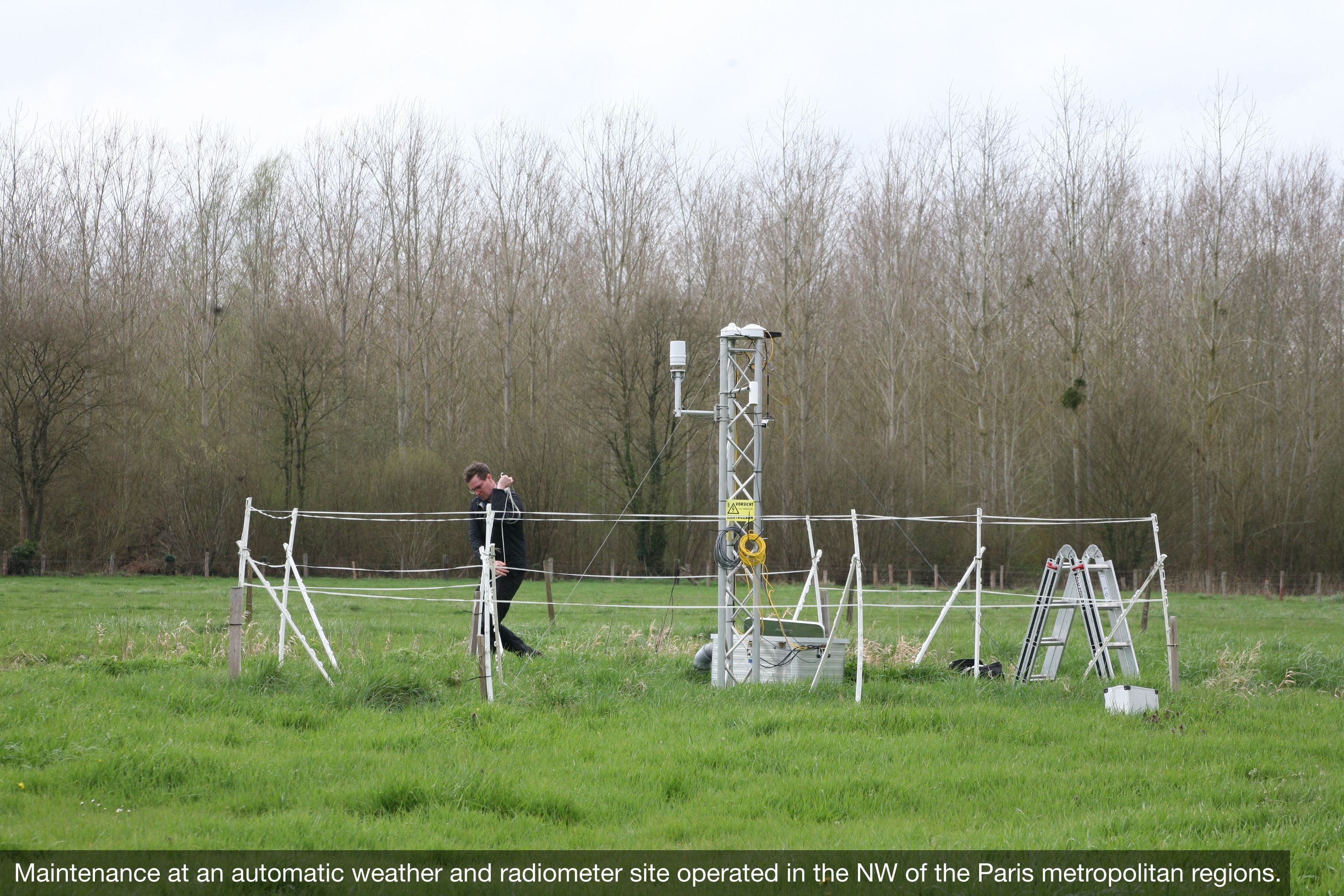
From March 2023 to February 2024, a large number of meteorological instruments have been installed in and around Paris, France. The objectives were to: evaluate urban land surface models, provide forcing data for e.g. atmospheric transport models, study fundamental urban-regional boundary layer (BL) interactions and feedbacks. The observational network was designed and operated in close collaboration with other Paris initiatives (e.g. ICOS-cities Paris pilot project, PANAME initiative framework, Research Demonstration Project Paris 2024 Olympics) and long-term operational observations in the Île de France region (e.g. Meteo France, Airparif, SIRTA/LMD). Members of the infoclimat community provided significant support in hosting instruments at their properties.
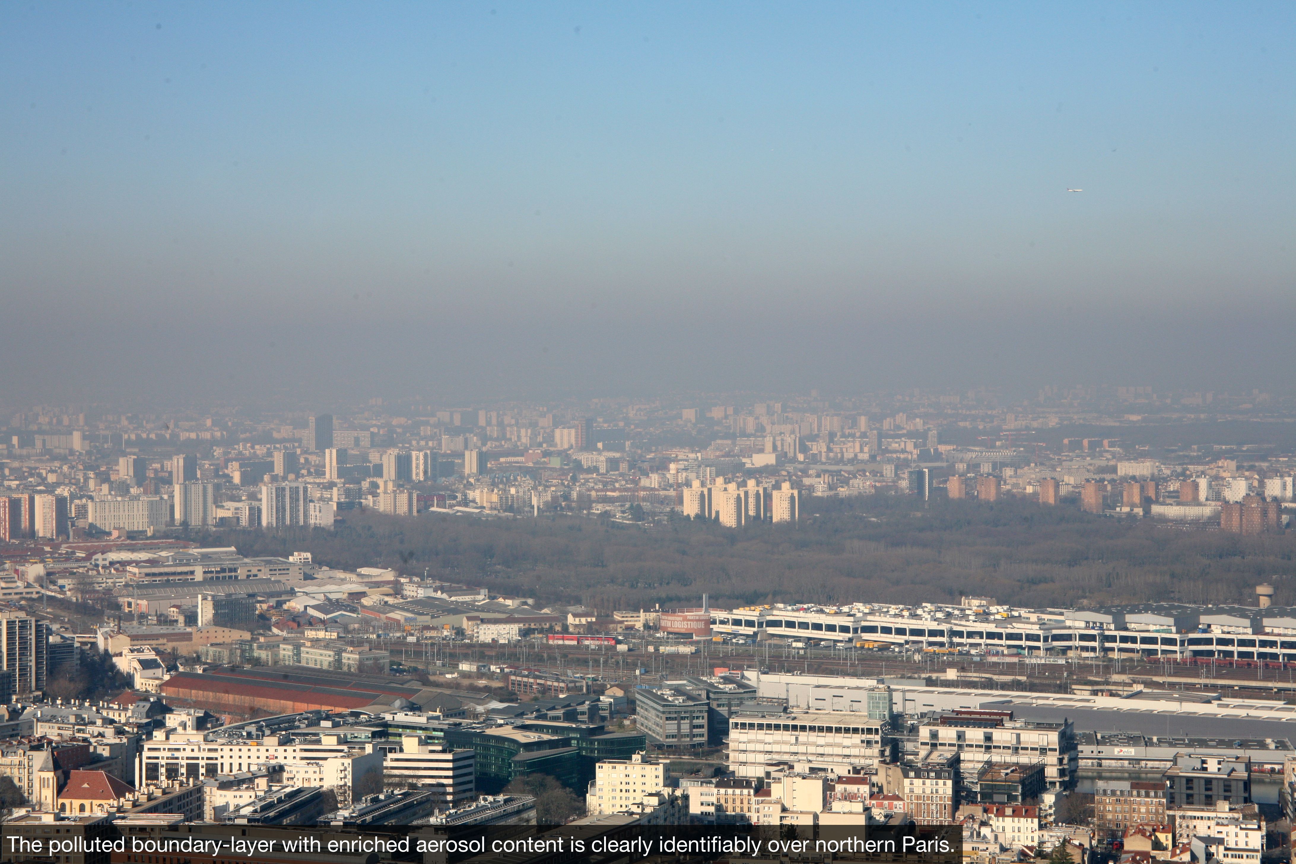
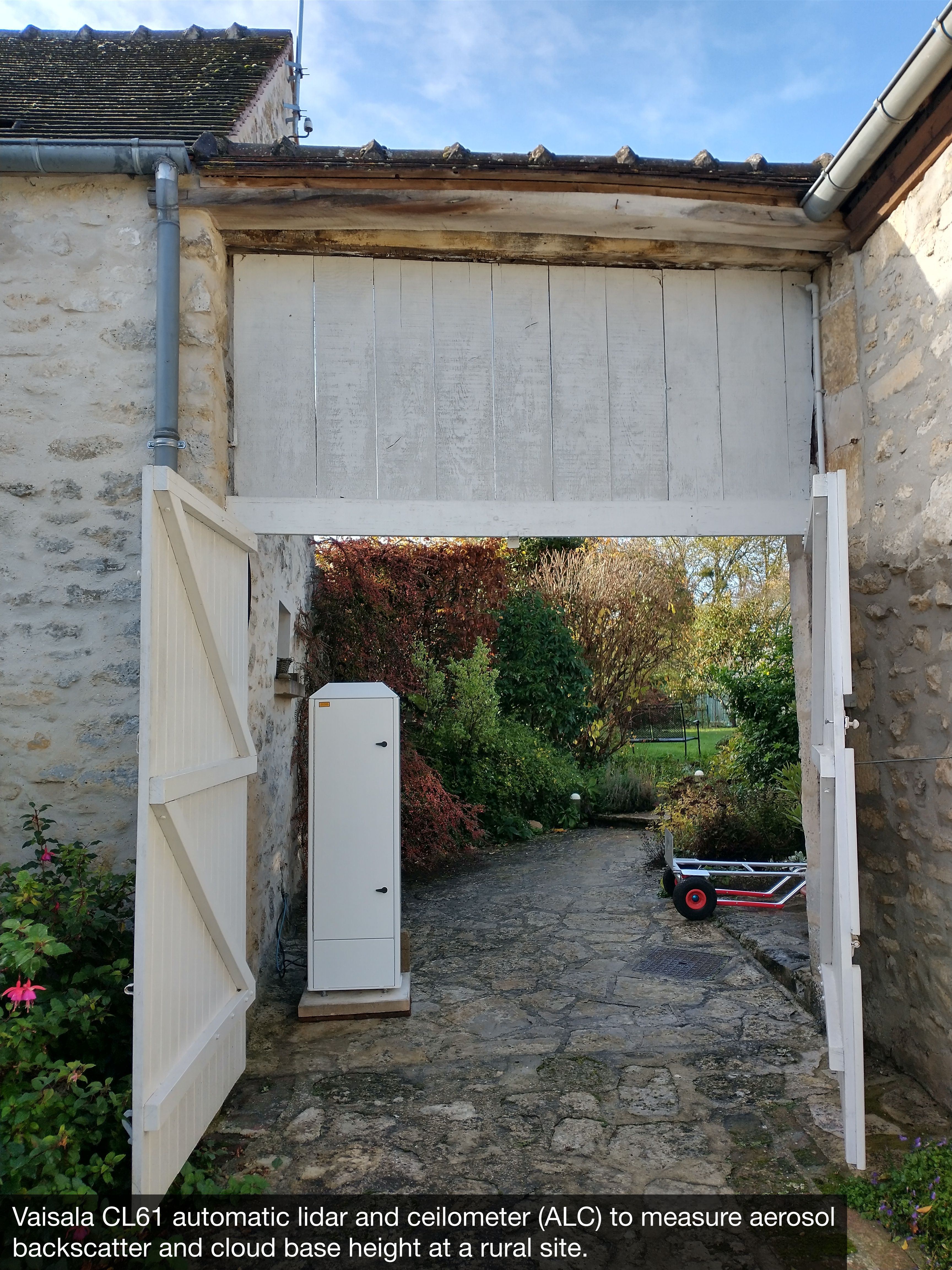
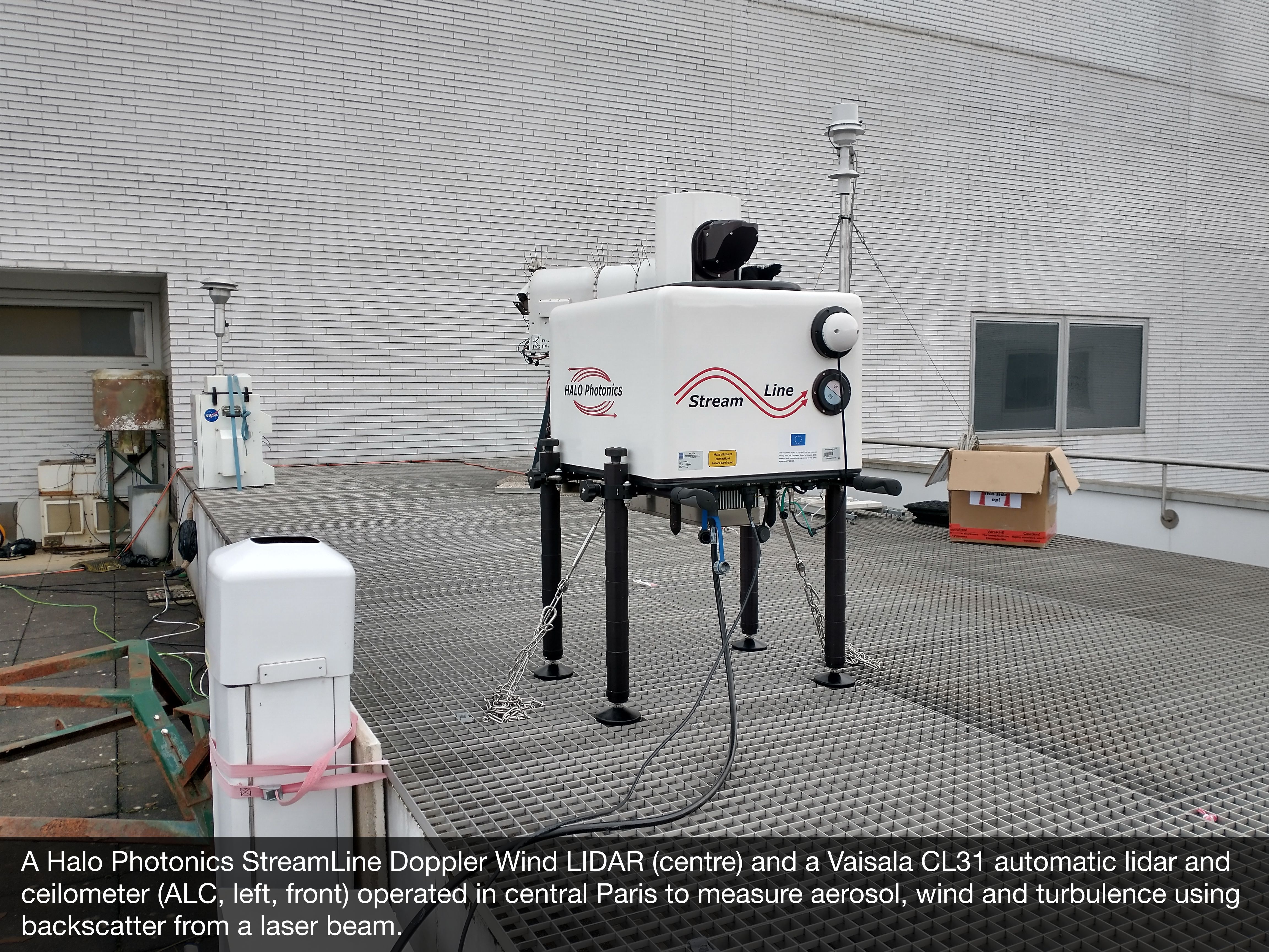
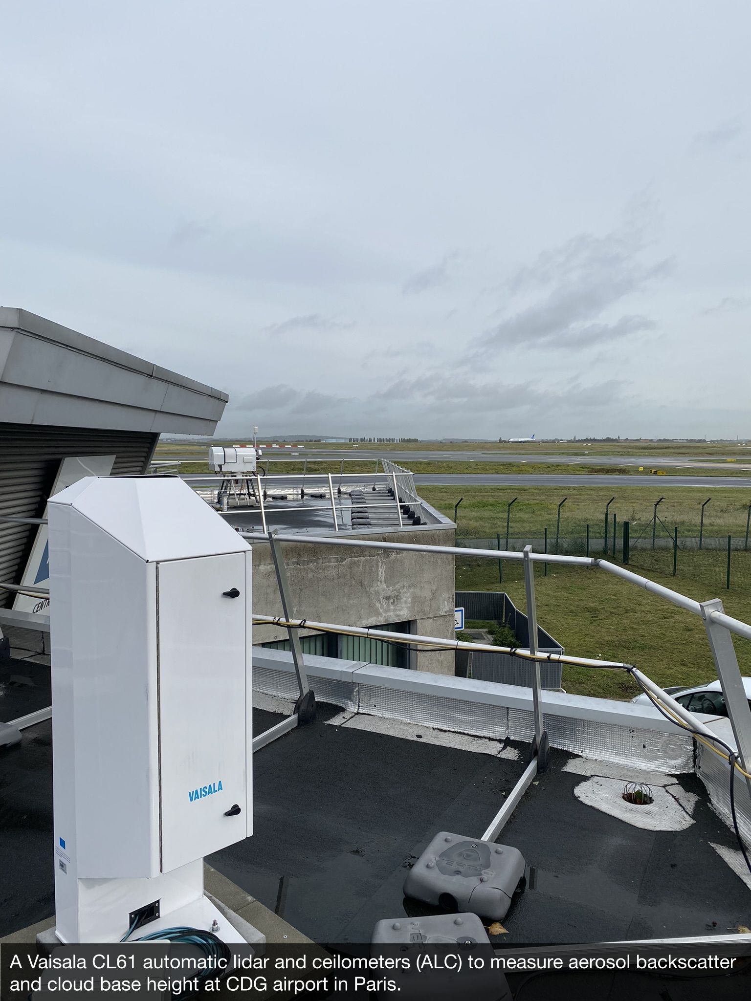
The instruments in the network include 11 urbisphere (19 total including PANAME and Meteo France) automatic low-power lidars and ceilometers (ALC) distributed in the city and up to 70 km upwind and downwind of central Paris. Seven urbisphere Vaisala CL61 with aerosol backscatter depolarisation ratio allowed for improved boundary layer height calculation with potential for characterising aerosol types/sources and inferring aerosol concentrations.
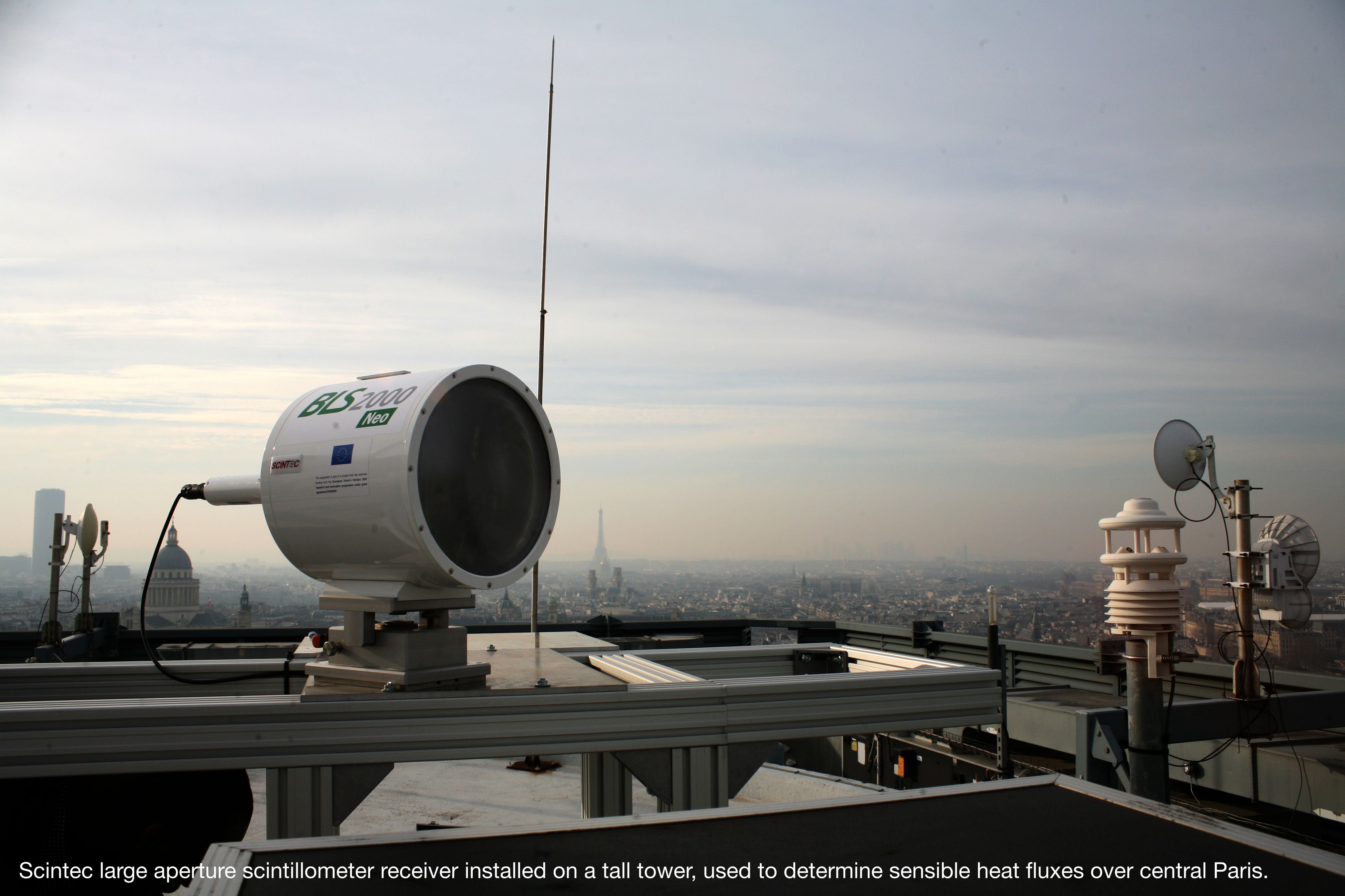
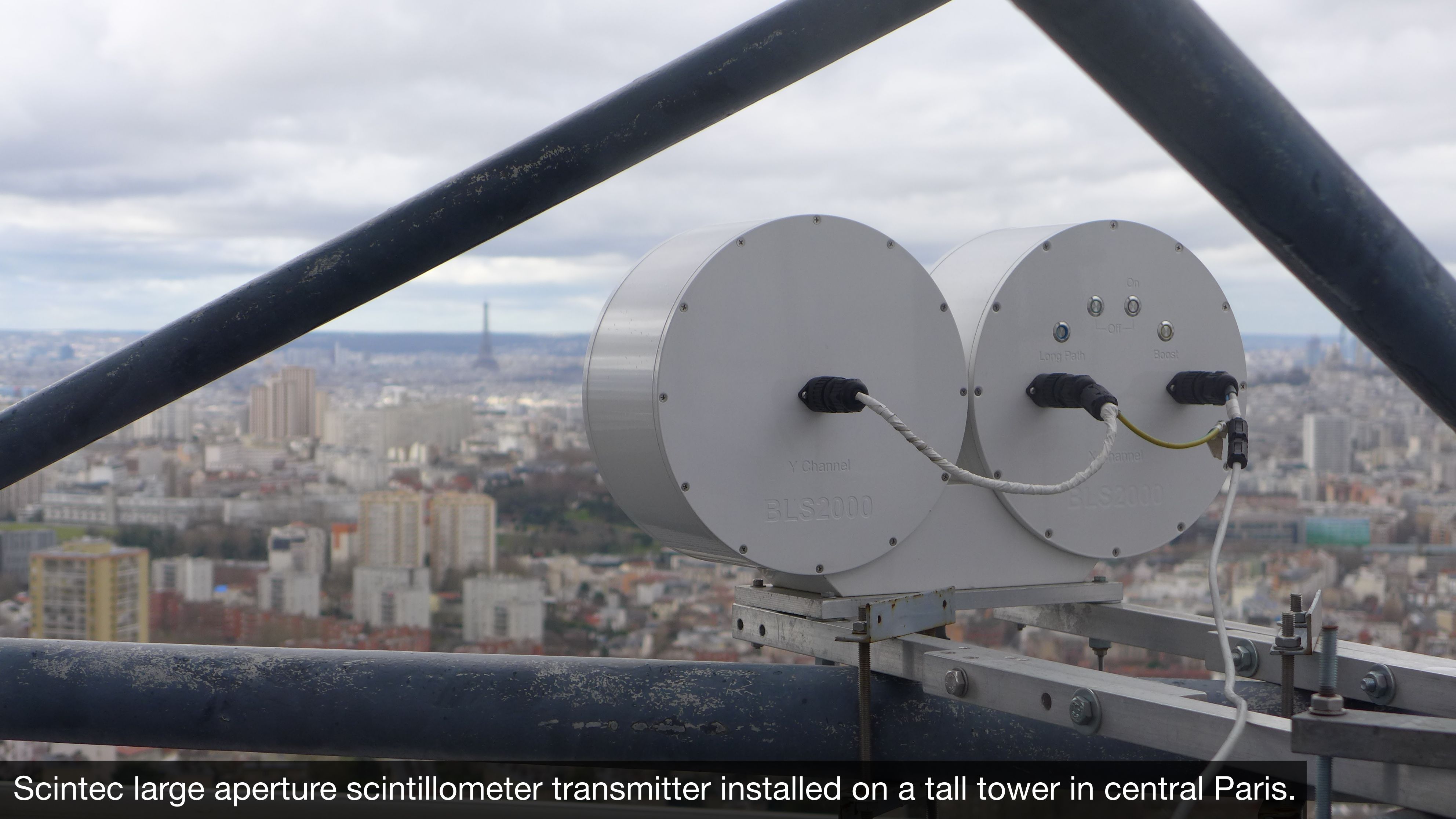
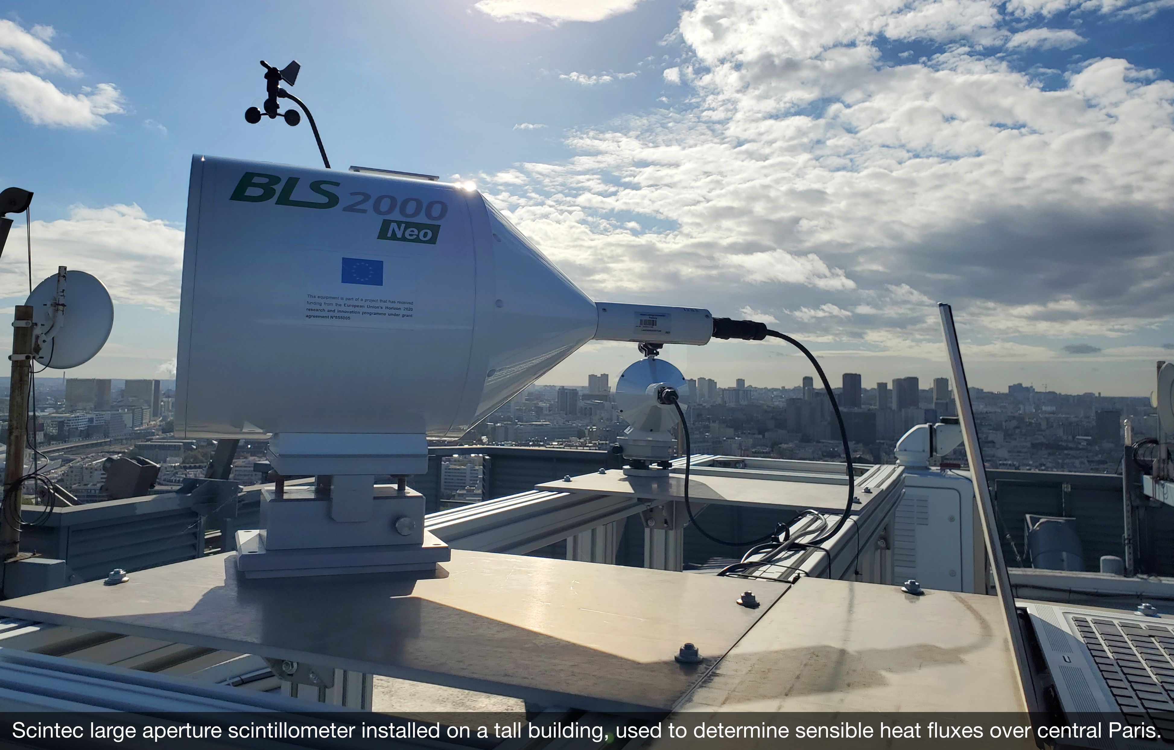
Intra-urban variability of sensible heat fluxes were determined from two pairs of urbisphere Large Aperture Scintillometers (LAS) installed on tall towers in central and suburban Paris, hosted by IPSL and also in collaboration with ICOS-cities and H2C.
Linking the ALC and LAS measurements are six doppler wind lidars (three Halo Photonics StreamLine are managed by urbisphere) installed along a 40 km transect from SW to NE Paris, characterising turbulent structures upwind, over and downwind of the city using vertical and horizontal wind velocity profiles and turbulence statistics. The data from these observations (Morrison et al., 2024b, in draft) provide crucial inputs to atmospheric transport models, as shown in e.g. the ICOS-cities pilot project. They are also crucial for evaluation of next-generation high-resolution numerical weather prediction (NWP) models.
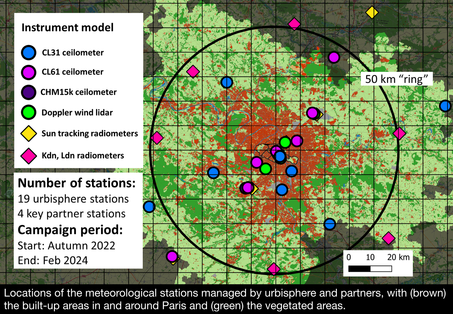
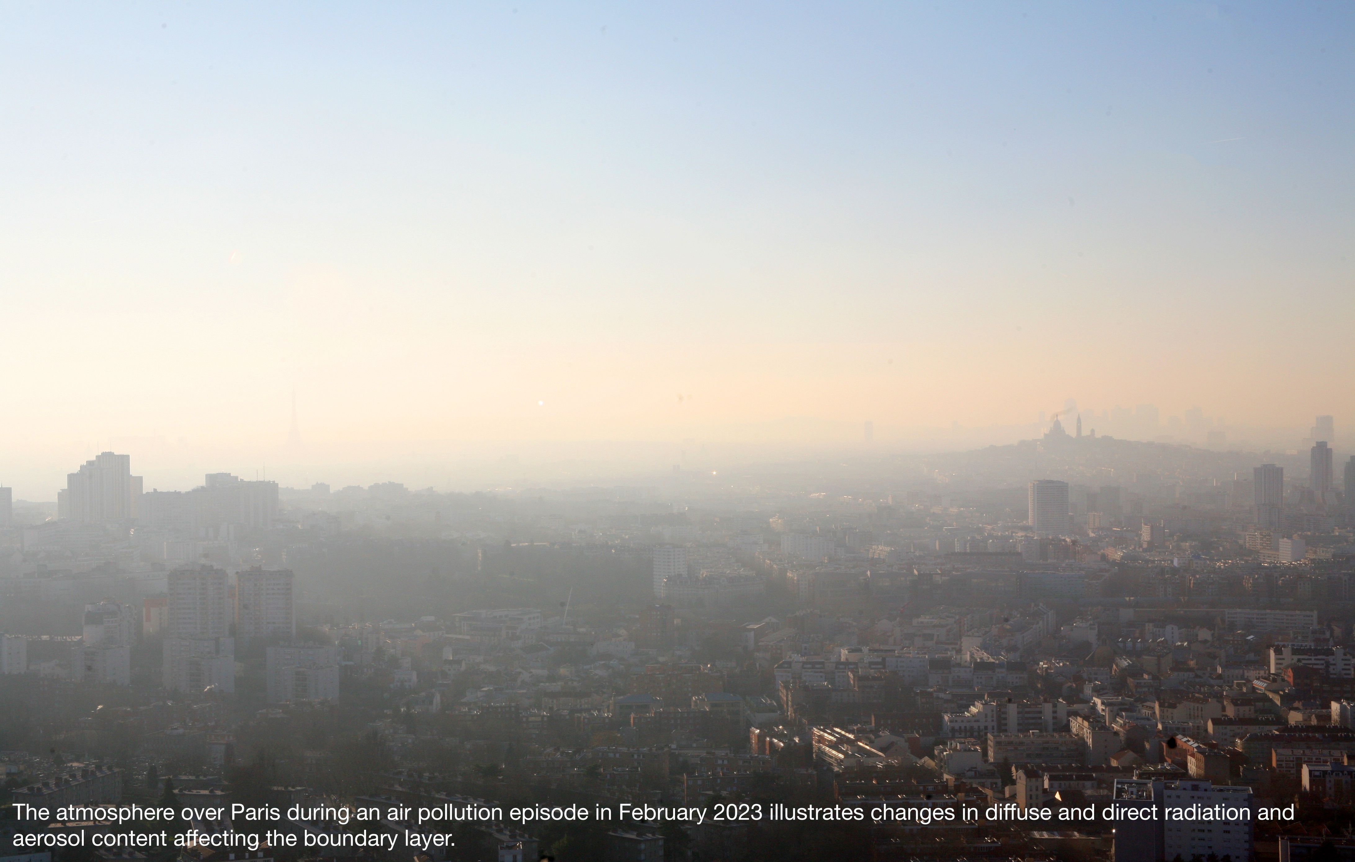
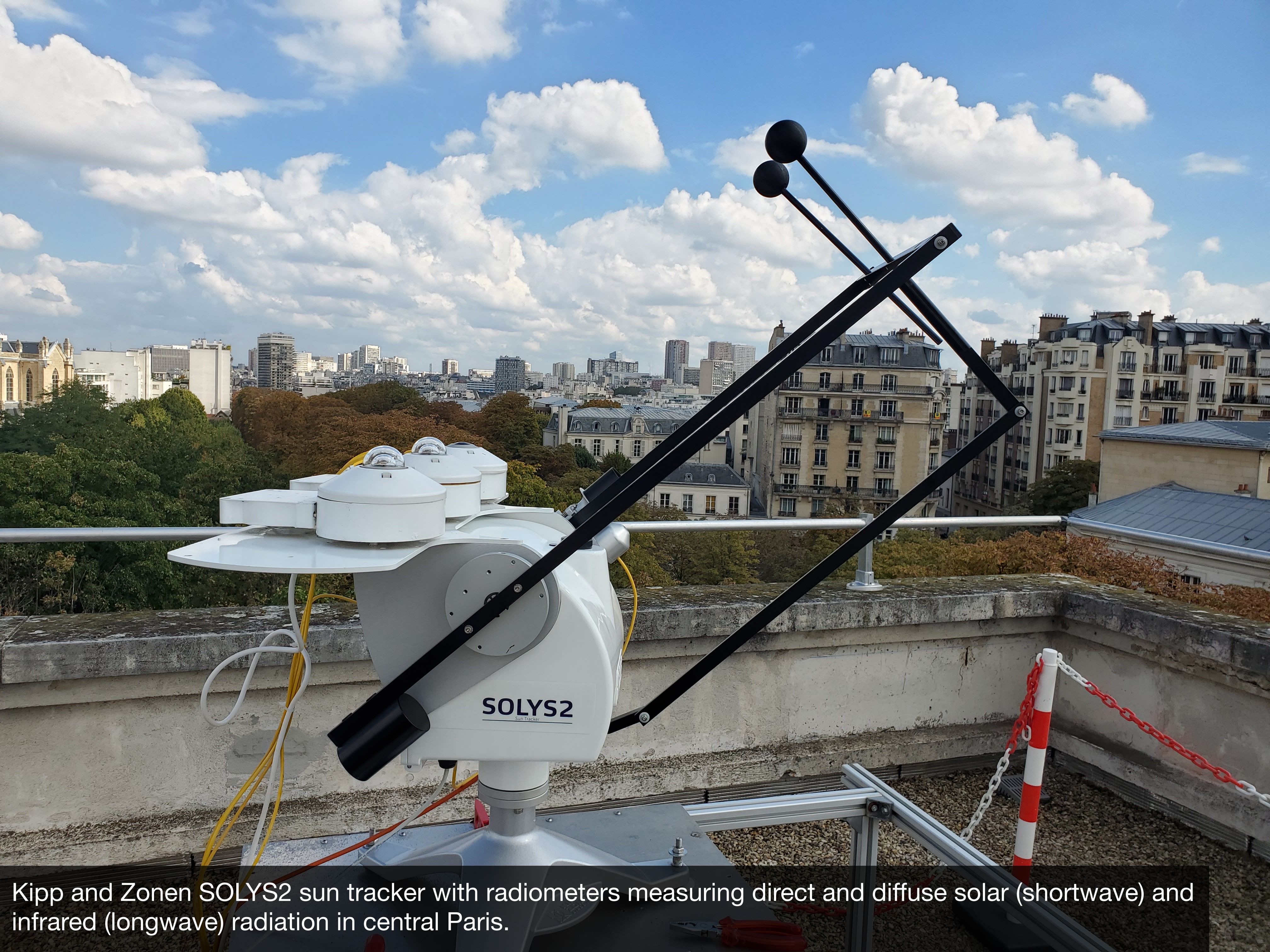
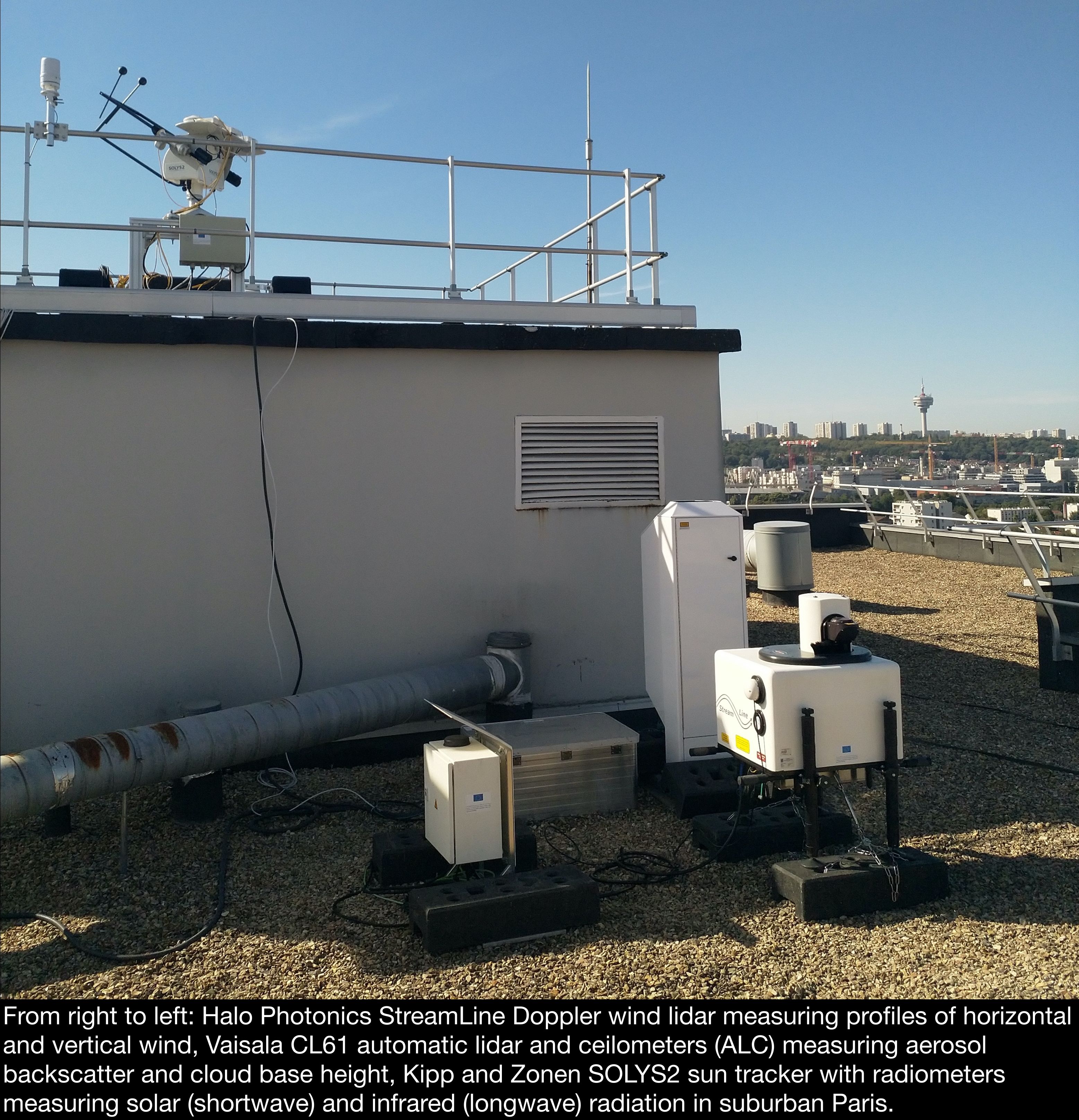
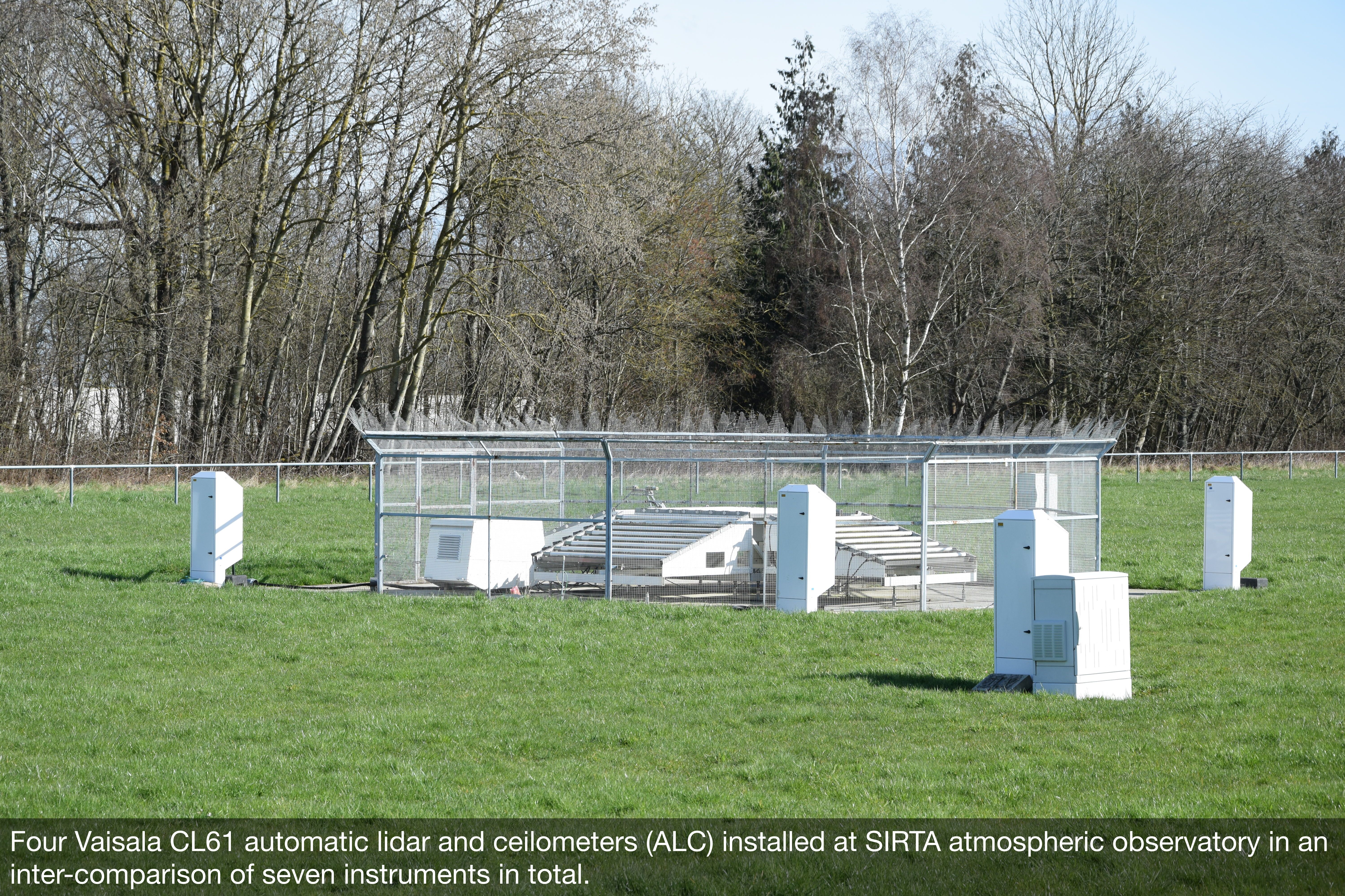
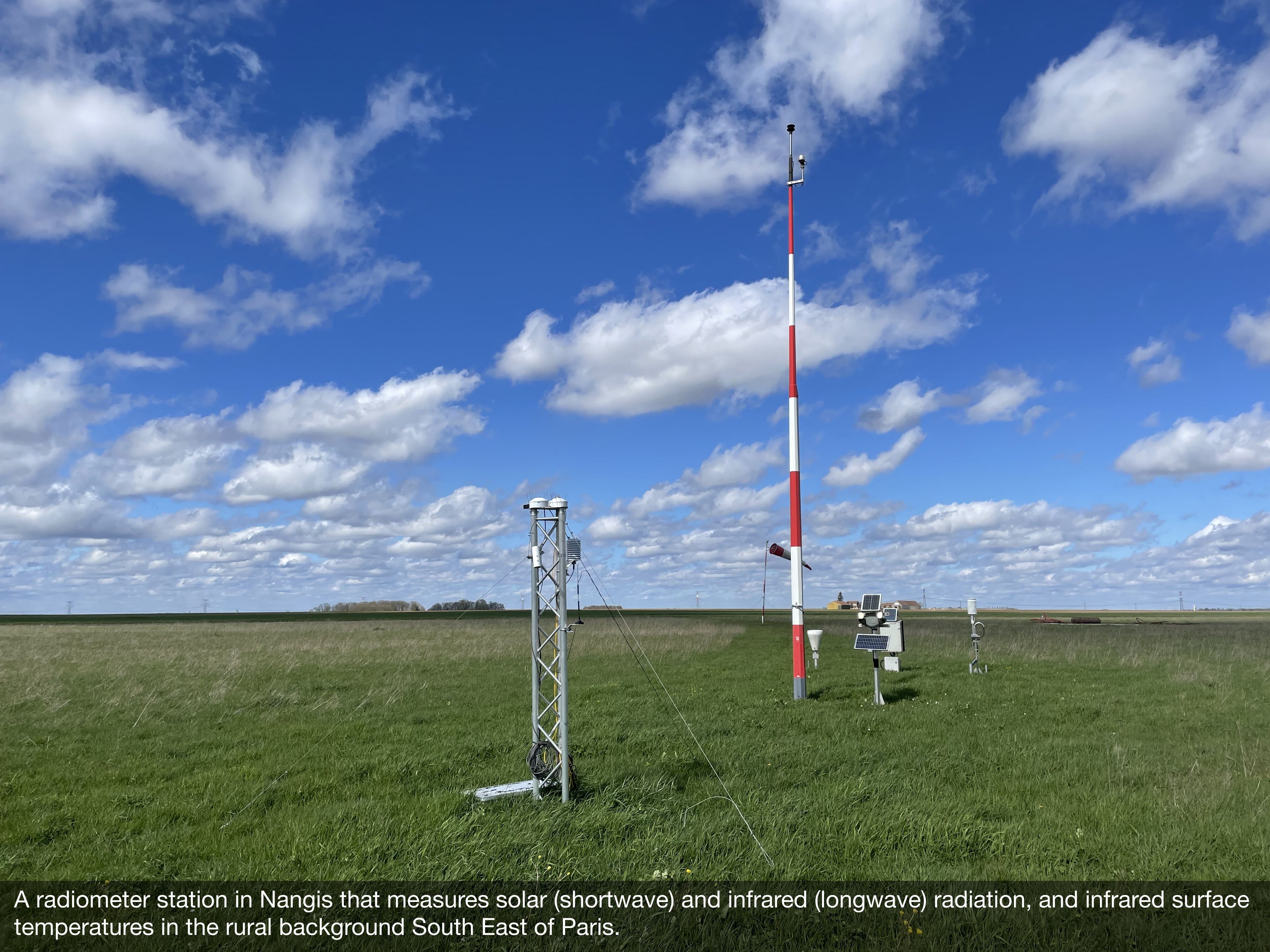
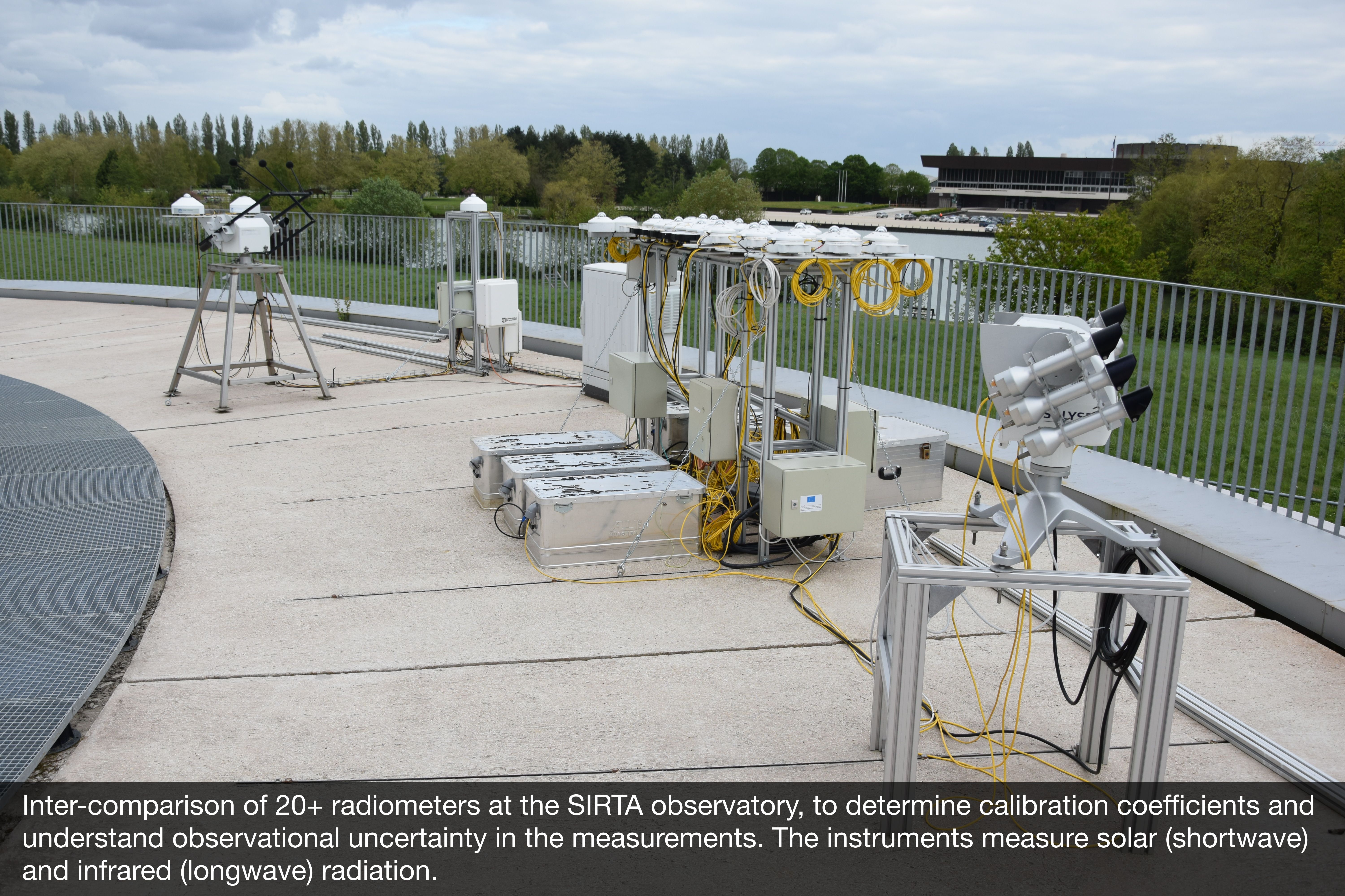
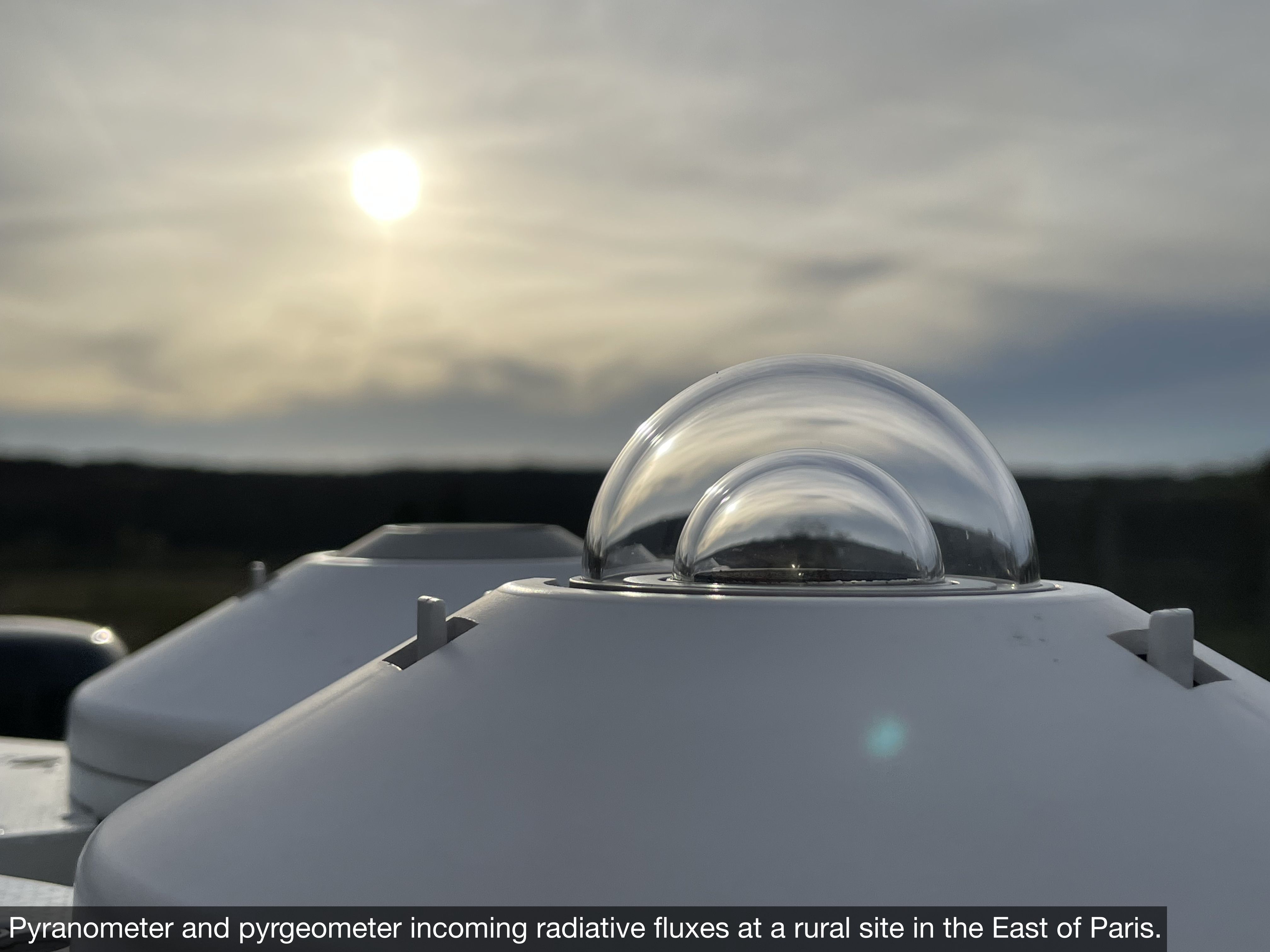
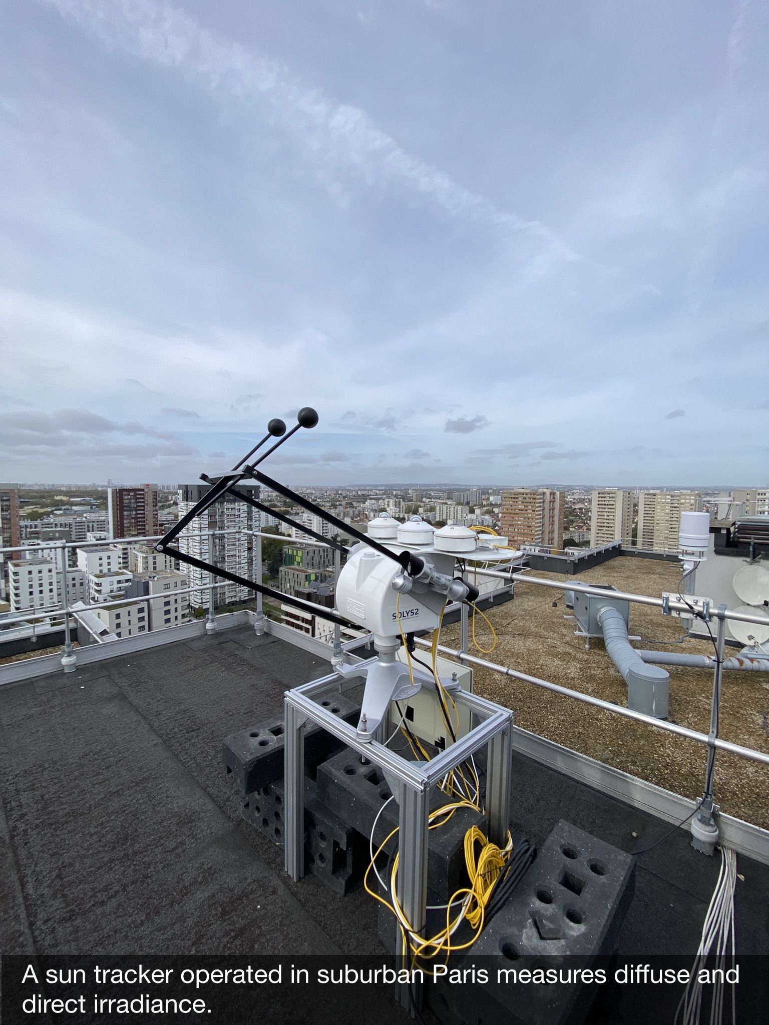
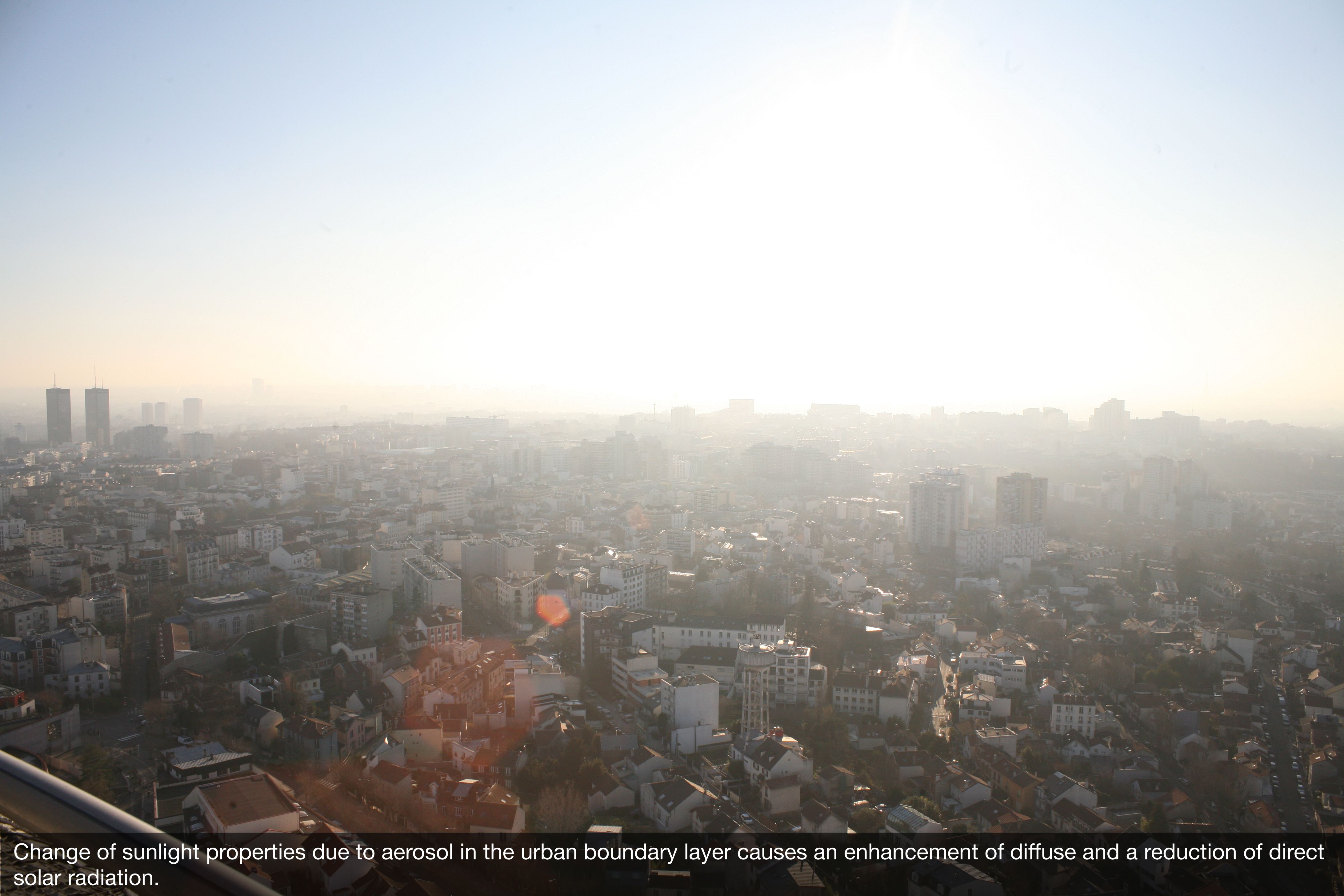
The radiative budget and impacts of aerosols on radiative transfer are independently observed with broadband short and longwave radiometers (5 sun tracker stations, 6 unshaded pyranometer-pyrgeometer pairs) distributed in a ring around Paris with an extensive inter-comparison effort at SIRTA in spring 2024.
Two visible-near infrared webcams join the global phenocam network. They provide essential products to represent urban vegetation in NWP and greenhouse gas models and are used to evaluate space-based observations on urban vegetation.
Similar to the urbisphere-Berlin campaign, the observations are being integrated with satellite imagery, aerial photos, and socio-economic surveys. Geospatial datasets from various sources for terrain, building heights and uses, vegetation, and land use have been combined and standardised for use in modelling. For socio-economic data, standardised datasets are being created from surveys and census data (including vulnerable age groups, unemployment, education levels, household size, and population density) to assess vulnerability and adaptive capacities to atmospheric extreme events in the region.
Morrison et al. (2024a). Metadata for the urbisphere-Paris campaign during 2022-2024: technical documentation. https://doi.org/10.5281/zenodo.11127960 In draft
Morrison et al. (2024b). A harmonised boundary layer wind profile transect dataset from six ground-based doppler wind lidars, Paris 2022 – 2024. In draft